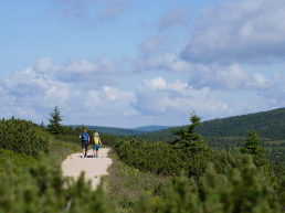

Whether you are an avid tourist, a passionate skier, or just looking for peace in the arms of beautiful nature, our marked routes will safely lead you to the most beautiful corners of the Krkonoše Mountains. Learn about the unique signage system that will guide you through the area's gems, from snowy ridges to verdant forests.
Marking of tourist routes
Discover the secrets of the marked paths of Špindlerův Mlýn
Marking of tourist routes
Since the 19th century, strip markings have been used in Bohemia for easy orientation in the terrain. In winter, the red tape takes us to the Krkonoše highway, the green indicates the cross-country track and the blue the racing ski track. In summer, red symbolizes a long-distance route, blue a more important route, green local routes and yellow short links. Let's not forget that outside the marked paths in the first two zones of the national park, entry is not allowed.
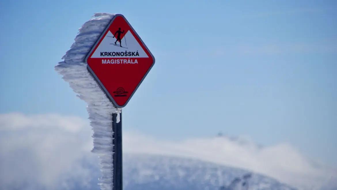
Krkonoše highway
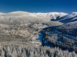
The Krknoše ski highway runs across the entire Krknoše Mountains. The central part is 71 km long and you can find routes from Harrachov (western Krkonoše) to Žacléř (eastern Krkonoše). The Krkonoše ski trail is marked in red and is divided into several stages. The entire 71 km is intended for physically fit and experienced cross-country skiers. For less skilled cross-country skiers, it is better to choose some part of the highway.
Route points - Harrachov - Mumlava river - Krakonoš breakfast - Vosecká bouda - crossroads U čtir panů - Vrbatova bouda - Horní Mísečky - Špindlerův Mlýn - ski resort Svatý Petr - Krásná Pláň - Klínovy bouda - Crossroads - Dvorská bouda - Liščí hora - Forest bouda - Pec under Sněžkou - Lučiny - Kolínská bouda - Černá hora - Velké Pardubice bouda - Blue stones - Krausov bouda - Weissov bouda - Horní Maršov - Rýhorská bouda - Horní Albeřice - Lysečinská bouda - Pomezní bouda in Malá Úpa - Žacléř
Silent signs
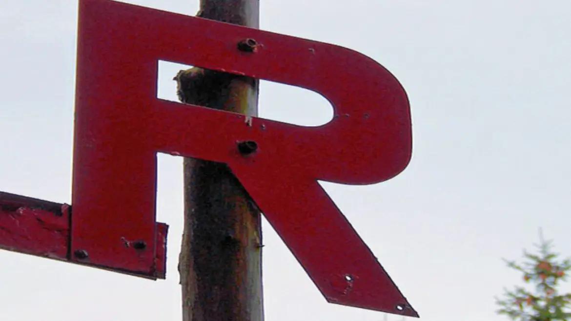
Krkonoš silent signs, also called "muttichovky", are tourist orientation signs cut from sheet metal into the appropriate shape and painted red. They are usually placed on top of the wooden pole of the Krkonoše pole marking. Their purpose is to ensure the visibility of road markings even in conditions of reduced visibility or icing, when normal signs may not be legible or even findable.
Important mountain huts, peaks, residences and other places (a total of 30 objects) in the Giant Mountains have their own red symbol. Here we list only those of them that are located in the vicinity of Špindlerův Mlýn.
Silent signs have been in use since 1923. They were created by Kamil Vladislav Muttich (sometimes incorrectly referred to as Kamil Vlastimil Muttich) (1873–1924), an academic painter and skier, the founder of the Himalaya skiing association in Mladá Boleslav.
Silent signs also prevented the national disputes that took place at the beginning of the 20th century over the language version of the inscriptions on tourist signs. Standard strip markings were introduced on both sides of the mountains in 1945, but the silent signs were retained.
Bar marking
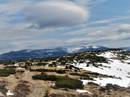
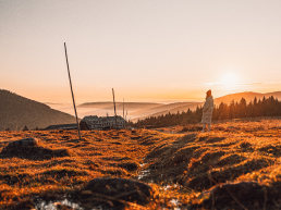
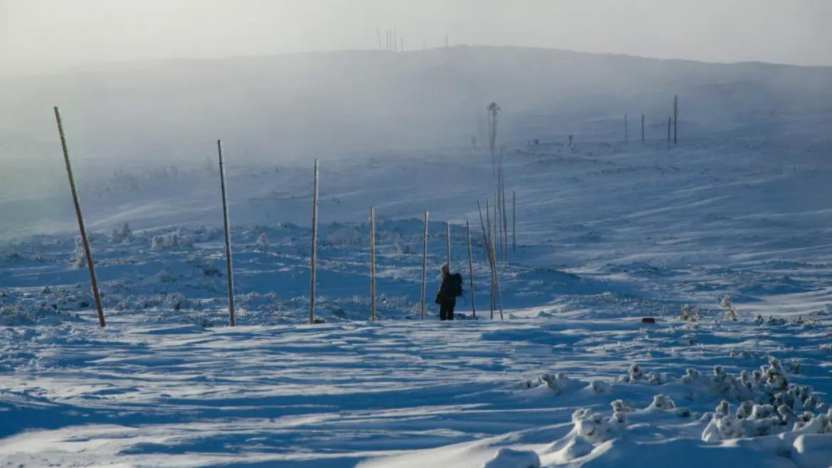
Pole marking is a type of road marking intended for periods with snow cover. Several meters high wooden poles are placed along the path at regular intervals, so that the direction of the route is visible even with a high snow cover and windy tracks. It is mainly used as supporting or main tourist markings on ski hiking routes on ridge routes and forestless plains. In some sections, the winter route differs from the summer markings. If there is no snow on the route, then it is not allowed to enter the route marked with stick markings, unless there is also a standard strip marking on it at the same time.
The length of the poles is 4 meters, but sometimes they get swept away in places. The mountain service, which takes care of pole markings, promptly solves the situation by driving new poles into the snow. Poles are taken to the mountains on scooters or carried on shoulders. During the summer, the replaced poles are prepared into so-called cones, cone-shaped buildings resembling shelters or teepees, which you can meet along the roads.
The stick markings of ridge paths in the Krkonoše Mountains are already shown on maps from the 17th century.
In the Krkonoše Mountains, the pole markings are complemented by Muttich's silent signs - red metal symbols of important places in the Krkonoše Mountains.
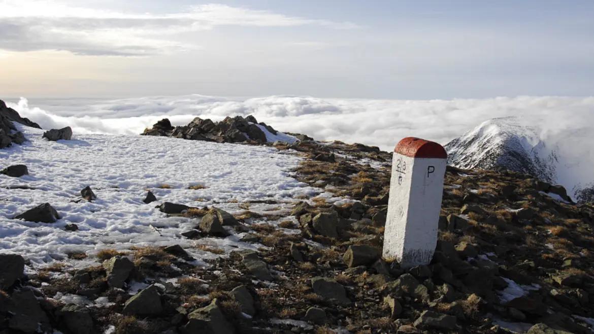
Boundary stones
The main ridge of the Giant Mountains lies on the Czech-Polish border. A border stone or border marker is usually a concrete or stone block protruding from the ground and marking a point on the state border between neighboring states. On the sides of the border stone there are letters indicating which state the respective side of the state border belongs to - "C" on the Czech side and "P" on the Polish side. Usually, the border is formed directly by the connection of individual stones.
Czech border stones are numbered and this marking is shown, for example, in the maps of the Czech Tourist Club, which facilitates orientation along the border.
In winter, of course, there are many border landmarks under the snow, but you will come across some even with a high snow cover.
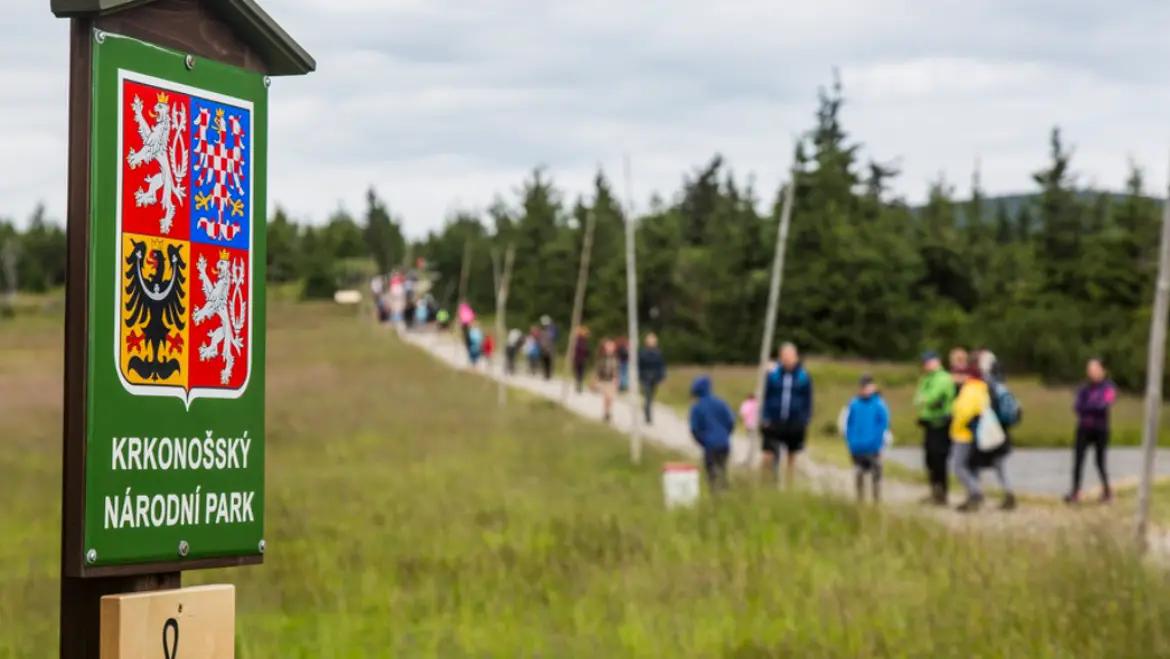
Krkonoše National Park
A green sign with the Czech national emblem marks the boundaries of the Krkonoše National Park (abbreviated as Krnap) in the terrain. The purpose of the park is to protect the unique landscape of the Giant Mountains.
It was declared on May 17, 1963, four years after the Polish Karkonosze Park by Narodow, which was established on January 16, 1959 on the Polish side of the mountains. In 1986, the national park was expanded by a protective zone. In 1992, both national parks on the Czech and Polish sides were jointly included in the UNESCO network of biosphere reserves as part of the Man and the Biosphere program. That is why today you will find the MaB mark on the Krnap emblem and on the signs in the field.
The national park is divided into three zones – I. zone (most strictly protected), II. zone and marginal. I. and II. zone are also marked with signs in the field (see picture). In I. and II. the zone of the park is very limited tourist activities, e.g. it is not allowed to enter by bicycle outside the marked cycle routes and to enter outside the marked pedestrian routes.
You can learn more about the national park, its nature protection and visiting regulations in the Krnap information centers.
The headquarters of the KRNAP administration is in Vrchlabí, the field service is based in Špindlerův Mlýn.
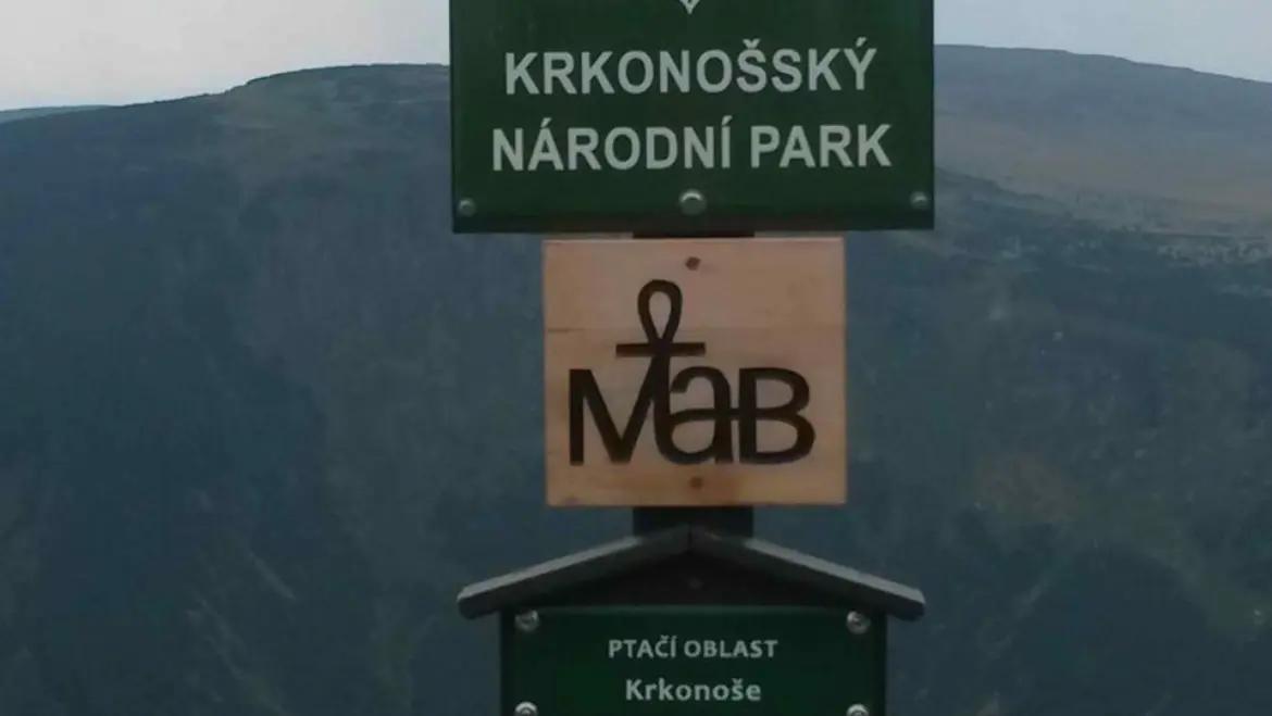
MaB - Man and the Biosphere
In 1992, both national parks (on the Czech and Polish sides) were jointly included in the network of biosphere reserves by the United Nations Educational, Scientific and Cultural Organization (UNESCO) as part of the Man and the Biosphere program. That is why today you will find the abbreviation MaB on the Krnap emblem and on the signs in the field - the brand of this project.
A biosphere reserve is a large-scale area declared as part of this international UNESCO program. The world network of biosphere reserves is spread to include all of Earth's basic biomes. These areas represent representative examples of cultural and natural landscapes, in which man and his activities also play an important role.
Most biosphere reserves include not only areas close to nature, but also areas marked by human activity - in the Giant Mountains we can find both types of areas. This makes it possible to study the interrelationships between man and the natural environment and to support the increase of biodiversity in such areas.