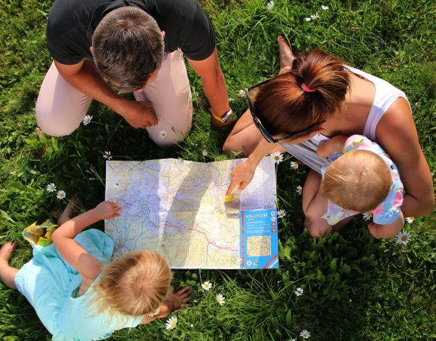
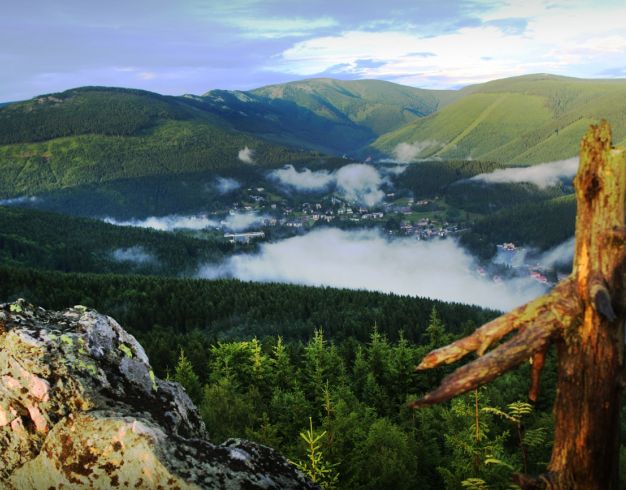
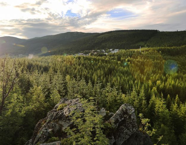
Would you like to go into the nature, but not long hikes? We have some tips for you.
6,5 Km / 2:15
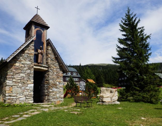
From the center of Špindlerův Mlýn follow ![]() across the bridge restaurant "Česká hospoda" - to the right Tabulové boudy (750 m) -
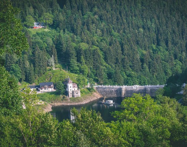
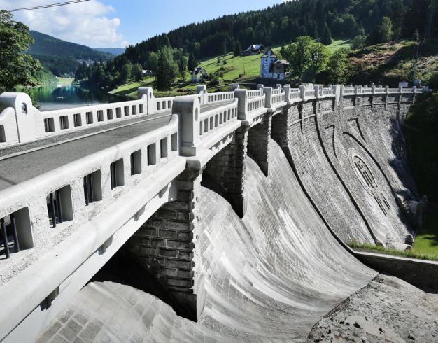
across the bridge restaurant "Česká hospoda" - to the right Tabulové boudy (750 m) - ![]() follow Elbe Dam (700 m) - cross the dam - then
follow Elbe Dam (700 m) - cross the dam - then ![]() - cross the road and turn left uphill - at the crossroads above Clarion (780 m) connect to
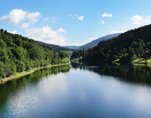
- cross the road and turn left uphill - at the crossroads above Clarion (780 m) connect to ![]() right around the bell tower (whitch is high pole with a bell on the top) on Labská -
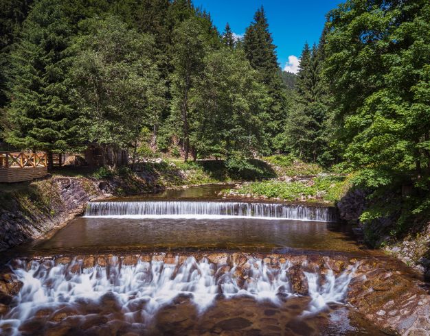
right around the bell tower (whitch is high pole with a bell on the top) on Labská - ![]() past Krakonošova gutter we walk down to the main road - park-place P1 - park-place P2
past Krakonošova gutter we walk down to the main road - park-place P1 - park-place P2
11,3 km / 3:30
14,3 km / 4:30
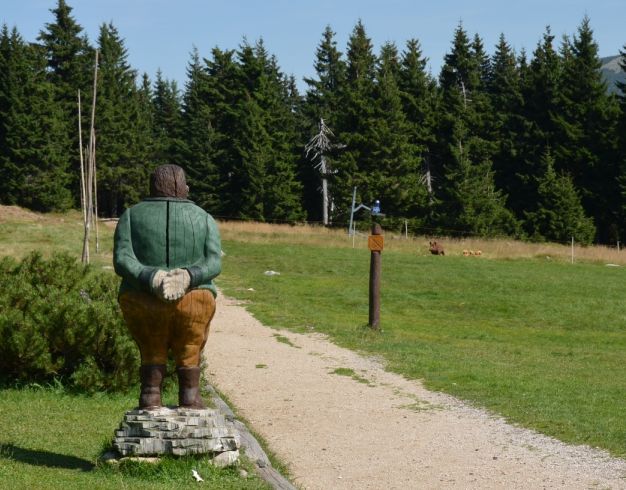
From the bus station to Špindlerova bouda (1 200 m) - ![]() - Petrova bouda (1 280 m above sea level) - Girls' and Male stones (1 400 m above sea level) - saddle above Martinovka 1 255 m above sea level) -
- Petrova bouda (1 280 m above sea level) - Girls' and Male stones (1 400 m above sea level) - saddle above Martinovka 1 255 m above sea level) - ![]() - Brádlerova boudy (1 060 m above sea level) -
- Brádlerova boudy (1 060 m above sea level) - ![]() - Medvědí bouda (1,060 m above sea level) -
- Medvědí bouda (1,060 m above sea level) - ![]() - Davidovy Boudy (1 015 m above sea level) -
- Davidovy Boudy (1 015 m above sea level) - ![]() - Dívčí lávky -
- Dívčí lávky - ![]() - restaurant Myslivna - LD Medvědín - the centre.
- restaurant Myslivna - LD Medvědín - the centre.